Maps are one of the building blocks of land navigation. There are four primary maps for Modern Survivalists: Physical, Topographical, Road and Climate Maps. Another useful map is an Economic or Resource Map.
Physical Maps
Physical maps use a color scheme to help highlight raised and lowered areas, like mountains and valleys, to help you understand the terrain you are navigating. These don’t seem to be super common in land navigation, but they’re great for understanding the overall type of land you’ll be crossing.
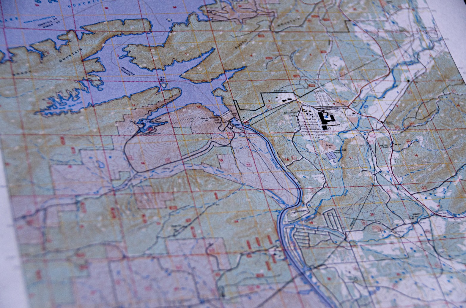
Topographical Maps
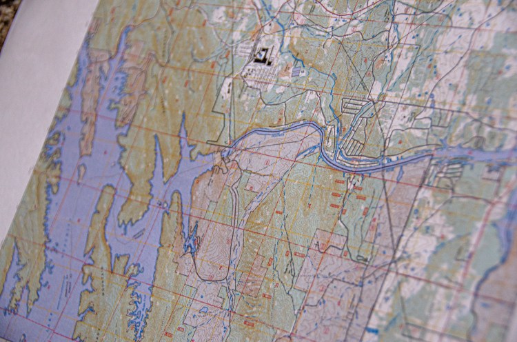
Topo maps are the most common maps I see for land navigation. These use contour lines to help you navigate terrain, and these lines are typically spaced to represent elevation. When lines are close together, you’re traversing steep terrain, when they are wider apart, they are more easy terrain.
Climate Maps
Climate maps are important when you are planning a trip to an unfamiliar region. These maps will help you to understand weather considerations in an area, plant types, the kinds of natural resources you may encounter, and more.
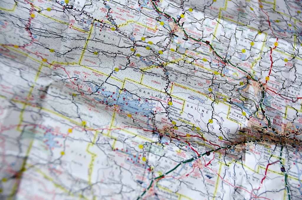
Road Maps
We all know the purpose of road maps, and why it’s absolutely necessary to be able to read these. It’s important to understand these maps from head to toe and be able to deduce ambush zones. In an emergency situation, a criminal element could easily use a choke point to get you locked up and pinned down.
Resource Maps
Resource Maps are important for obvious reasons, as it is always good to know what resources are available to you in a location. This can be applied to post disaster construction, production, and tool fabrication. It can also be a good asset for the manufacture of weapons if that need arises. Resource maps can be collected from your local Economic Development Commission. These resources include CNC machine shops, railroad tracks, airports, major waterways, and more.
A great resource for topographical maps:
